
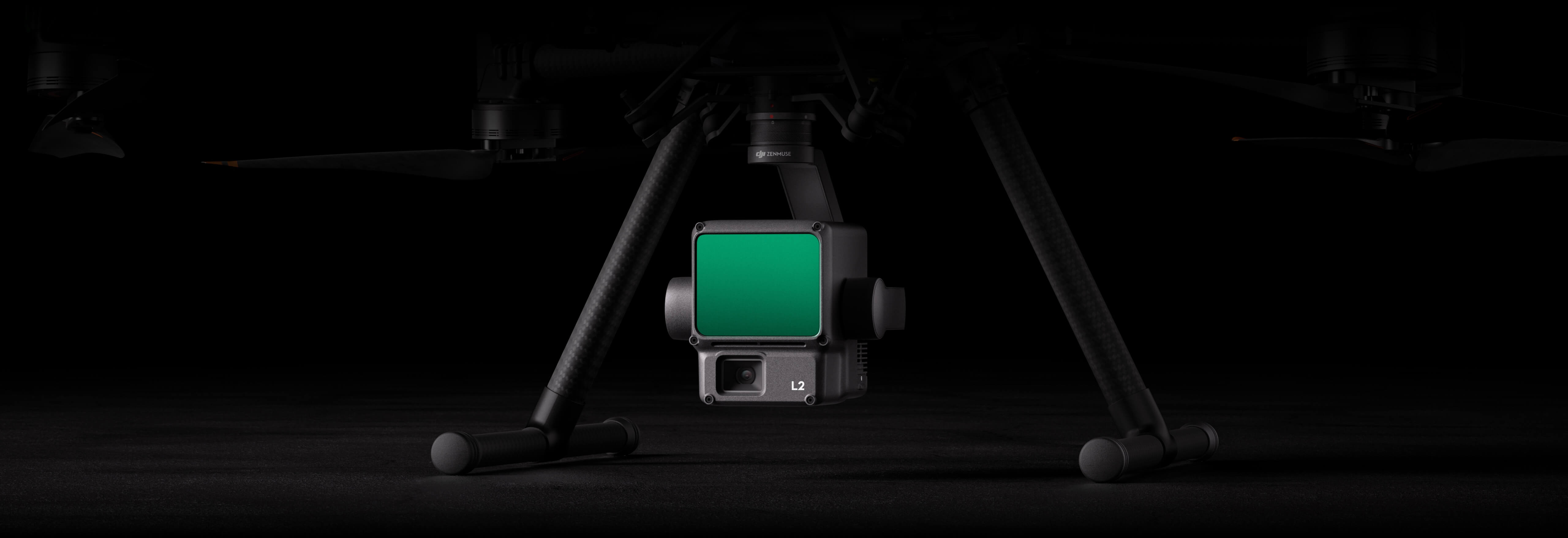
Zenmuse L2
High-Precision Aerial LiDAR System
ZENMUSE
L2
Powerful Range, Elevated Precision
Zenmuse L2 integrates frame LiDAR, a self-developed high-accuracy IMU system, and a 4/3 CMOS RGB mapping camera, providing DJI flight platforms with more precise, efficient, and reliable geospatial data acquisition. When used with DJI Terra, it delivers a turnkey solution for 3D data collection and high-accuracy post-processing.

High Precision
(Vertical Accuracy: 4 cm;
Horizontal Accuracy: 5 cm)

5 Returns

Exceptional Efficiency

Turnkey Solution

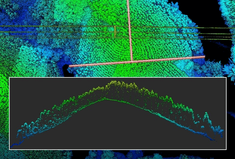
Superior Penetration

Point Cloud LiveView

Detection Range

One-Click Processing on DJI Terra
Integrated LiDAR Solution
High-Level Precision

Exceptional Efficiency

Intuitive Operation

Frame-Based LiDAR
30% Detection Range Increase
Smaller Laser Spots, Denser Point Clouds
Supports 5 Returns
Effective Point Cloud Rate: 240,000 pts/s
Two Scanning Modes
Frame-based Design
High-Accuracy IMU System
No IMU Warm-up
RGB Mapping Camera

4/3 CMOS, Mechanical Shutter
Enhanced Operational Experience
Power Line Follow
Diverse Flight Route Types
Point Cloud LiveView
Point Cloud Model Playback and Merging
Auto-Generated Task Quality Report
Zenmuse L2's intelligent recognition algorithm supports identification, tracking, and junction analysis for transmission and distribution lines, enabling semi-automatic flight and data collection.
PPK Solution
One-Click Processing on DJI Terra
Application Scenarios

Land Surveying and Mapping

Electricity management

Forestry management
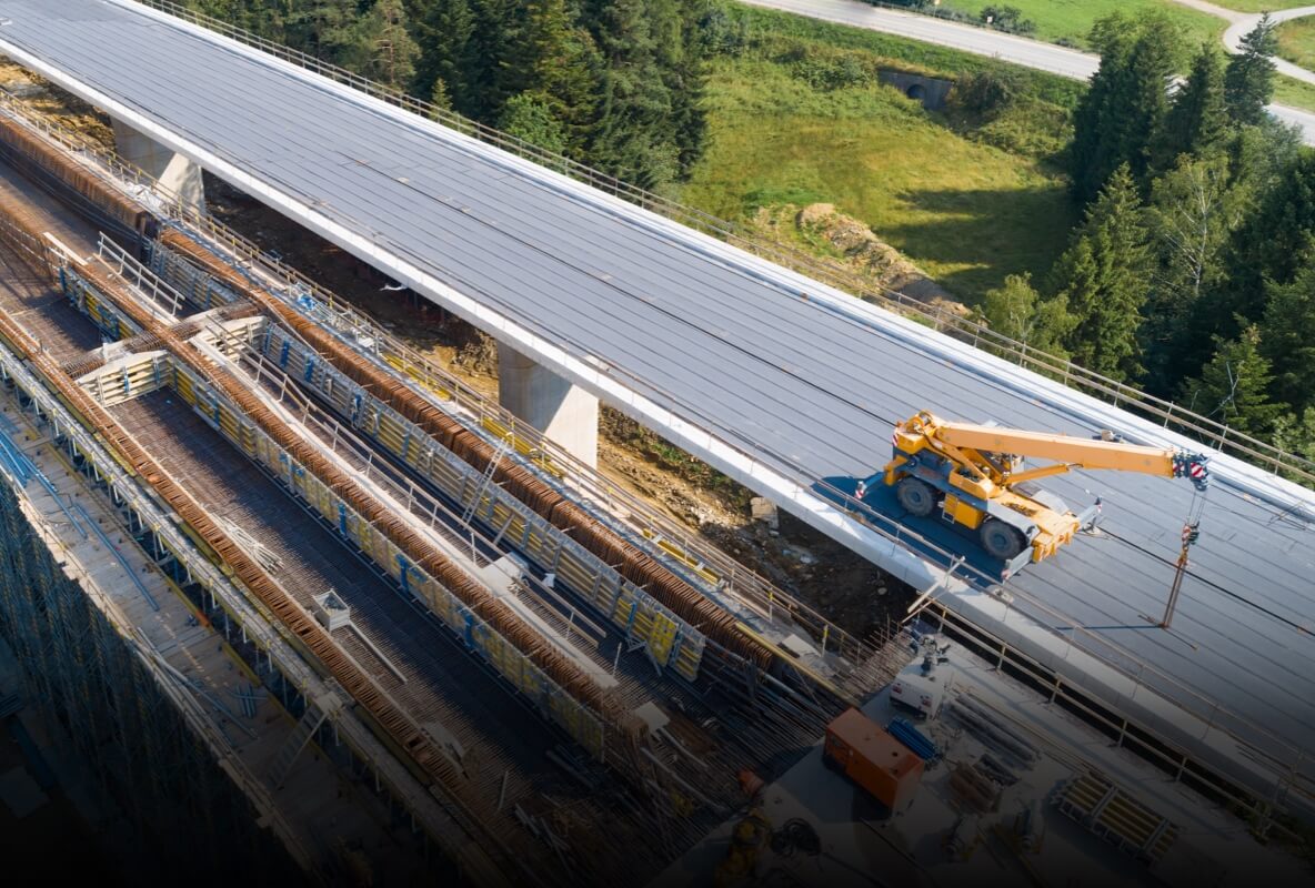
Infrastructure management
Бидэнтэй холбогдохыг хүсч байна уу?
Асуух зүйл, санал хүсэлт өгөхийг хүсч байвал бид үргэлж нээлттэй байх болно.
Үнийн санал авахыг хүсч байна уу?
Бид таны хүсэлтэд тулгуурлан хамгийн таатай үнийн саналыг хурдан хугацаанд илгээх болно.

Copyright © 2025 River Group All Rights Reserved.
Privacy Policy
Use of Cookies